Singapore MRT Yearly Visualisation
Singapore MRT Rail Network GeoJSON Year-wise Line Splitter
Description
This Python script processes a comprehensive Singapore MRT (Mass Rapid Transit) rail network GeoJSON file and splits it into separate files organized by year and rail line. It normalizes line names, assigns feature numbers, and creates individual GeoJSON files for each line’s opening year, making it easier to analyze the historical development of Singapore’s rail transit system.Data Sources
Primary Input
sg-rail_with_years_patched.geojson - A comprehensive GeoJSON file containing Singapore’s entire rail network with temporal dataInput Directory
/data/singapore_mrt/main_source_folder/
Input Data Structure
Geometry Types Processed
- LineString/MultiLineString (rail lines)
- Point (stations/stops)
- Polygon/MultiPolygon (areas/zones)
Required Properties
- year: Opening year of the rail segment
- name: Name/identifier of the rail line
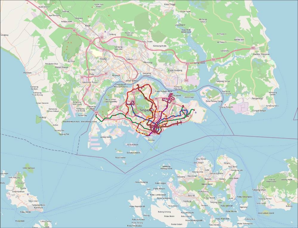
Rail Lines Covered
- North South Line (NSL)
- East West Line (EWL)
- North East Line (NEL)
- Circle Line (CCL)
- Downtown Line (DTL)
- Thomson-East Coast Line (TEL)
- Bukit Panjang LRT (BPLRT)
- Sengkang LRT with East/West loops (SKLRT)
- Punggol LRT with East/West loops (PGLRT)
Output
Generated Files
Year-Line Specific Files: Numbered GeoJSON files for each line-year combination Format:XX_singapore_[LINE_CODE]_[YEAR].geojson
Example: 01_singapore_NSL_1987.geojson
Aggregated Files
- singapore_all_points.geojson - All station/point features
- singapore_all_polygons.geojson - All polygon/area features
Output Directory
/data/singapore_mrt/year_wise_geojsons_new/
Output Enhancements
Feature Numbering
Each feature gets a sequential number propertyNormalized Codes
Standardized line codes (NSL, EWL, etc.)Chronological Organization
Files sorted by opening years (1987-2020)Libraries Used
Core Python Libraries
- os: File system operations and directory management
- json: JSON file reading, writing, and manipulation
- collections.defaultdict: Efficient nested dictionary creation for grouping features
Geospatial Libraries
- shapely.geometry:
- shape: Converting GeoJSON geometry to Shapely objects
- mapping: Converting Shapely objects back to GeoJSON format
- Used for potential geometric operations (imported but not actively used in current implementation)
🚀 Ready to implement this solution?
Access the complete code, step-by-step instructions, and interactive notebook in Nika Hub.
View Full Solution →