

Products
NikaGallery
Showcase and discover published apps, solutions, maps, and notebooks from our community
Overview
NikaGallery is a vibrant community platform where users can discover, share, and showcase their geospatial applications, data visualizations, maps, and analysis notebooks. It serves as a central hub for the Nika community to learn from each other and find inspiration for their own projects.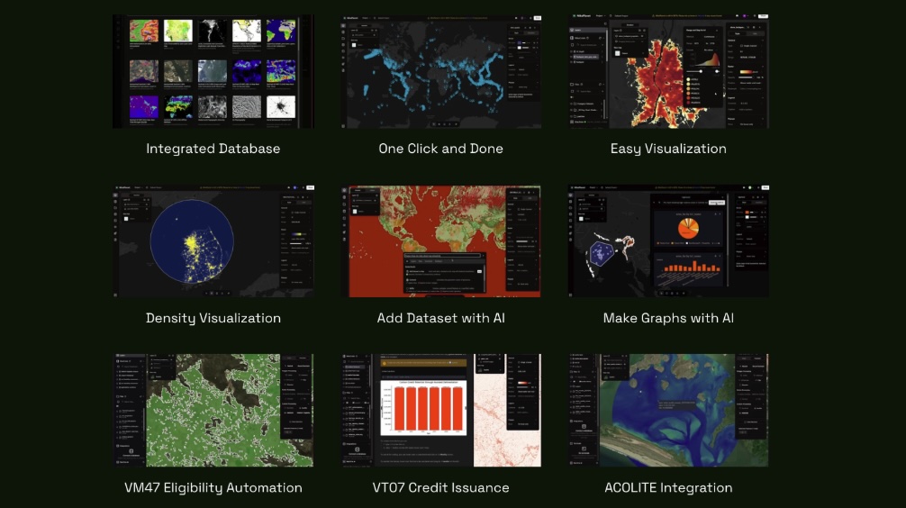
Key Features
Discovery
- Browse by Category: Filter content by type (apps, maps, notebooks, solutions)
- Search & Filter: Advanced search with tags, technologies, and data types
- Trending: Discover popular and trending content
- Collections: Curated collections of related projects
Publishing
- Easy Publishing: One-click publishing from NikaWorkspace and NikaStudio
- Version Control: Track changes and maintain project history
- Collaboration: Work together with team members
- Templates: Use pre-built templates for common project types
Community
- User Profiles: Showcase your work and expertise
- Comments & Reviews: Engage with other creators
- Favorites: Save and organize your favorite projects
- Following: Follow creators and get notified of new content
Content Types
Applications
- Web Applications: Interactive web apps built with NikaStudio
- Mobile Apps: Cross-platform mobile applications
- Desktop Tools: Standalone desktop applications
- APIs & Services: Backend services and APIs
Maps & Visualizations
- Interactive Maps: Dynamic, feature-rich maps
- Data Dashboards: Comprehensive data visualization dashboards
- Infographics: Static and animated infographics
- 3D Visualizations: Immersive 3D spatial experiences
Notebooks & Analysis
- Jupyter Notebooks: Data analysis and research notebooks
- Tutorials: Step-by-step guides and tutorials
- Research Papers: Academic and research publications
- Case Studies: Real-world application examples
Solutions
- Industry Solutions: Sector-specific applications
- Templates: Reusable project templates
- Plugins: Extensions and add-ons
- Workflows: Automated analysis pipelines
Getting Started
Browsing Content
Visit the NikaGallery to explore community content:- Use the search bar to find specific content
- Filter by category to narrow down results
- Sort by popularity, date, or rating
- Click on items to view details and interact
Publishing Your Work
From NikaWorkspace
From NikaStudio
Gallery Categories
Applications
- Urban Planning: City planning and development tools
- Environmental Monitoring: Climate and environmental applications
- Transportation: Traffic and logistics solutions
- Real Estate: Property and market analysis tools
- Public Health: Health and epidemiology applications
Maps & Visualizations
- Choropleth Maps: Regional data visualization
- Point Maps: Location-based data display
- Flow Maps: Movement and migration patterns
- 3D Maps: Elevation and terrain visualization
- Time Series Maps: Temporal data visualization
Analysis & Research
- Spatial Analysis: Geographic data analysis
- Statistical Analysis: Statistical modeling and inference
- Machine Learning: AI and ML applications
- Remote Sensing: Satellite and aerial data analysis
- Survey Analysis: Field data collection and analysis
Community Guidelines
Content Standards
- Original Work: Only publish your own original content
- Quality: Ensure your content is well-documented and functional
- Appropriate: Content must be suitable for all audiences
- Accurate: Provide accurate descriptions and documentation
Collaboration
- Respect: Be respectful and constructive in comments
- Attribution: Give credit to original sources and contributors
- Sharing: Share knowledge and help other community members
- Feedback: Provide helpful feedback on others’ work
Featured Projects
Urban Heat Island Analysis
A comprehensive analysis of temperature variations across urban areas using satellite data and ground measurements.Real-time Traffic Dashboard
Live traffic monitoring system with predictive analytics for urban mobility planning.Environmental Impact Assessment
Tool for assessing the environmental impact of development projects using spatial analysis.Public Health Mapping
Interactive maps for tracking disease outbreaks and public health metrics.Integration
NikaGallery integrates with other Nika products:- NikaWorkspace: Publish analysis results and notebooks
- NikaStudio: Share applications and dashboards
- AI Agent: Get recommendations for similar projects