

NikaDBMS
Powerful Geospatial Database Management
NikaDBMS is a comprehensive database management system designed specifically for geospatial data science workflows. Connect to multiple database types, leverage AI-powered SQL generation, and seamlessly integrate with your NikaWorkspace data lake.Key Features
AI-Powered SQL Generation
- Intelligent Query Builder - Natural language to SQL conversion
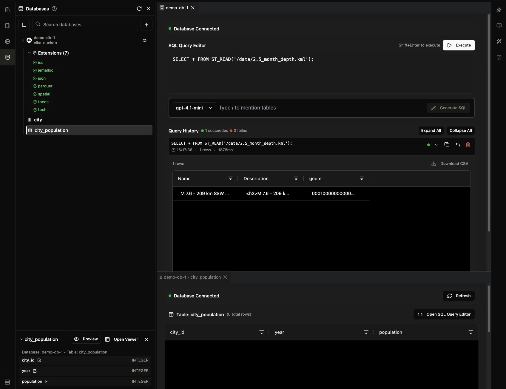
- Geospatial Function Support - ST_READ, ST_AsText, spatial joins, and more
- Context-Aware Suggestions - AI understands your schema and suggests optimal queries
- Multiple AI Models - Choose from GPT-4, Claude, and other leading models
Workspace Integration
- Direct Data Lake Access - Query files directly from your NikaWorkspace
- File Format Support - KML, GeoJSON, Shapefile, Parquet, and more
- Map Integration - Use query results as map layers instantly
- Collaborative Features - Share queries and results with your team
Multi-Database Support
NikaDBMS supports a wide range of geospatial databases, from lightweight local solutions to enterprise-grade cloud platforms.Core Databases
PostgreSQL
Full spatial extensions support with PostGIS for advanced geospatial operations and analysis.
DuckDB (Managed)
High-performance analytical database with built-in spatial functions for fast geospatial queries.
MotherDuck
Cloud-native DuckDB service with serverless architecture and seamless scalability.
Enterprise Solutions (Upon Request)
Oracle DB
Enterprise spatial database with advanced analytics and high-performance geospatial processing.
Snowflake
Cloud data warehouse with native geospatial support and massive scalability.
BigQuery
Google’s serverless data warehouse with built-in geospatial functions and ML capabilities.
Amazon Redshift
AWS data warehouse with spatial extensions for large-scale geospatial analytics.
Esri GeoDatabase
Geographic information system with comprehensive spatial analysis and mapping capabilities.
SQLite (SpatiaLite)
Lightweight spatial database perfect for mobile and embedded geospatial applications.
Core Capabilities
Geospatial Query Processing
- Spatial Functions - Full support for PostGIS and DuckDB spatial functions
- File Direct Access - Query KML, GeoJSON, and other formats directly
- Coordinate System Support - Automatic CRS detection and transformation
- Performance Optimization - Spatial indexing and query optimization
Data Science Workflows
- Statistical Analysis - Built-in functions for spatial statistics
- Machine Learning Integration - Export data for ML pipelines
- Visualization Ready - Results formatted for immediate mapping
- Reproducible Research - Save and version control your queries
Enterprise Features
- Multi-User Support - Role-based access control
- SQL Query History - Track and replay previous queries
- Performance Monitoring - Query execution analytics
- Data Security - Encrypted connections and secure data handling
Getting Started
1. Connect Your Database
Choose from supported database types and configure your connection:- PostgreSQL: Standard connection with spatial extensions
- DuckDB Managed: Instant setup with Nika’s managed service
- MotherDuck: Cloud-native with enterprise features
2. AI-Powered Querying
Use natural language to generate complex spatial SQL queries with AI assistance that converts your requests into optimized SQL statements.3. Visualize Results
- Instant Mapping(To be built) - Query results appear as map layers
- Interactive Tables - Explore data with built-in table viewer
- Export Options - Download as CSV, GeoJSON, or other formats
Use Cases
Environmental Monitoring
- Satellite Data Analysis - Process large raster datasets
- Change Detection - Compare temporal geospatial data
- Habitat Mapping - Analyze species distribution patterns
Urban Planning
- Population Analysis - Demographic data with spatial context
- Infrastructure Planning - Network analysis and optimization
- Zoning Analysis - Land use pattern recognition
Research & Academia
- Spatial Statistics - Advanced analytical functions
- Data Integration - Combine multiple data sources
- Publication Ready - Export results for research papers
Integration Benefits
With NikaWorkspace
- Seamless Data Access - Query files directly from your workspace
- No Data Duplication - Work with original data sources
- Version Control - Track changes to your datasets
With NikaMap (To be built)
- Live Data Layers - Query results as interactive map layers
- Real-time Updates - Refresh data without re-querying
- Spatial Analysis - Perform complex spatial operations
With NikaNotebook (To be built)
- Code Generation - Export queries as Python/SQL code
- Reproducible Workflows - Document your analysis process
- Collaborative Analysis - Share notebooks with your team
Performance & Scalability
- High-Performance Queries - Optimized for large geospatial datasets
- Parallel Processing - Multi-threaded query execution
- Memory Management - Efficient handling of large result sets
- Caching - Intelligent query result caching
Security & Compliance
- Encrypted Connections - All database connections are encrypted
- Access Control - Role-based permissions and user management
- Data Privacy - Client data remains under your control
Getting Started
Ready to supercharge your geospatial data science workflows? Start with NikaDBMS today and experience the power of AI-assisted geospatial database management.Get Expert Help
Talk to a Geospatial Expert
Need help with your geospatial projects? Our team of experts is here to assist you with implementation, best practices, and technical support.
Other ways to get help:
- Guides: Use the /guides tab for detailed tutorials
- Community: Ask questions in our community forum
- Support: Send us a support request