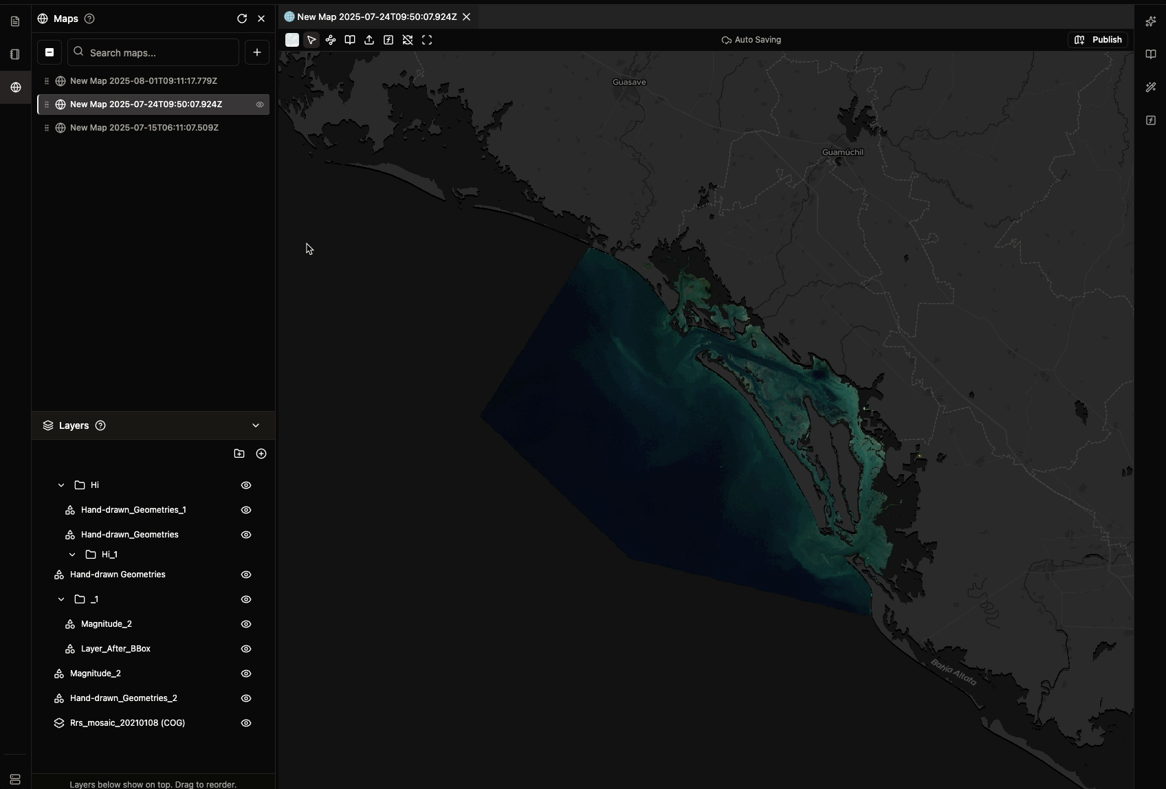
Available Base Maps
1. DataViz
- Clean, minimal background optimized for data visualization
- Best for: Charts, graphs, and data-focused presentations
2. OpenStreetMap
- Detailed street maps with roads, buildings, and place names
- Best for: Urban analysis, navigation, and location-based data
3. Satellite
- High-resolution satellite imagery showing natural landscape
- Best for: Environmental analysis, land use studies, and remote sensing
How to Change Base Map
- Right-click on your map area
- Select “Change Base Map” from the context menu
- Choose your preferred base map type
- Changes are auto-saved immediately
Custom Base Maps
Need a different base map? You can:- Request new base maps via our community forum
- Contact support for custom base map URLs
- Send feedback about base map options
Next Steps
- Set Initial View: Optimize your map display
- Sync Multiple Map Views: Coordinate multiple map views
- Publish Your Map: Share with others